Uncover a wealth of resources, from online archives to government agencies, providing high-resolution imagery for research and professional use.
16 Jul 2024
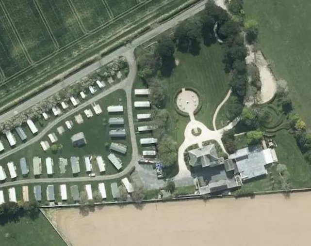
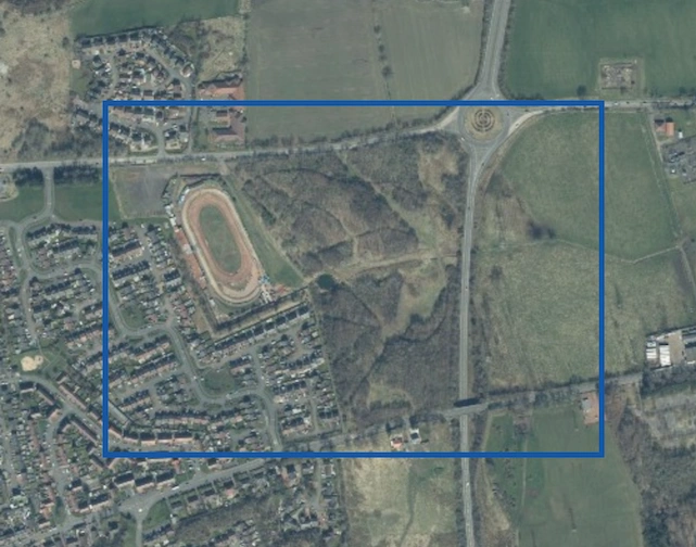
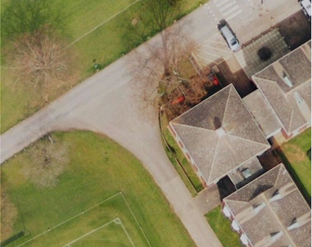
Aerial photos are used for site analysis, topographical mapping, urban planning, environmental impact assessment, and client presentations in a variety of industries such as architecture.
16 Jul 2024
How to obtain up-to-date aerial images from online maps, government platforms, or commercial providers, ensuring adherence to licensing requirements and evaluating image quality.
16 Jul 2024
Choose the aerial photos you want from our large collection, notify us, and we'll prepare and send them to you via email.
16 Jul 2024
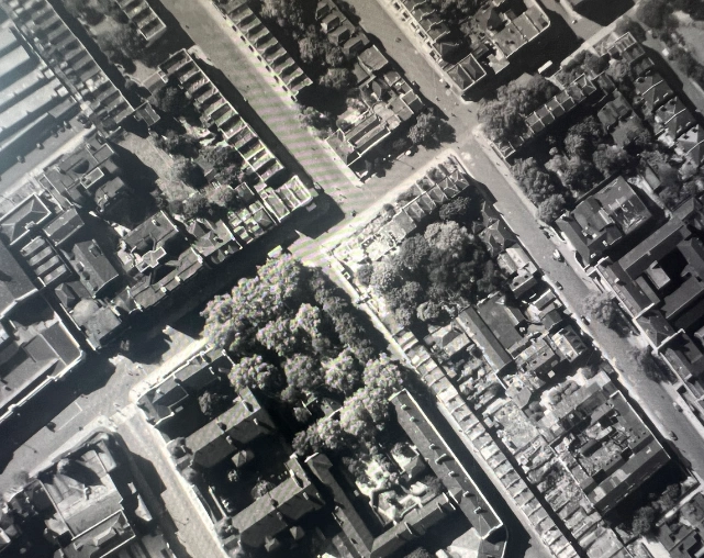
Find historical aerial photos for every county in Scotland at UK Aerial Photos, featuring over 10 million images from 1945 onward.
02 Jul 2024
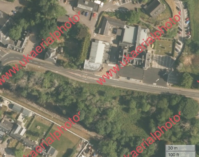
If you're interested in an old aerial photo of your house or seeing how your property has changed over the years, explore our collection.
01 Jul 2024
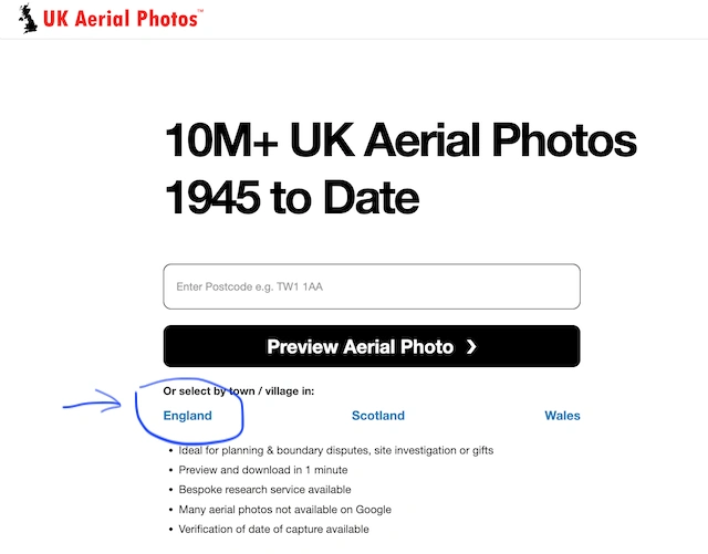
Discover historical aerial photos for every county in England at UK Aerial Photos, with an extensive collection of over 10 million images from 1945 onwards.
21 Jun 2024
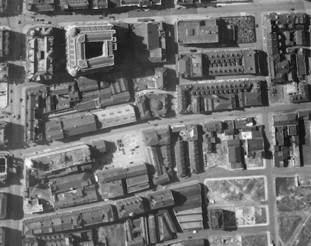
Aerial photography is a crucial tool in historical research, revealing city layouts, landscape changes and specific sites of interest.
21 Jun 2024
Whether you're looking for an old aerial photo of your house, a gift for a family member, researching local history, or observing changes to your property over the years, explore our collection.
17 Jun 2024