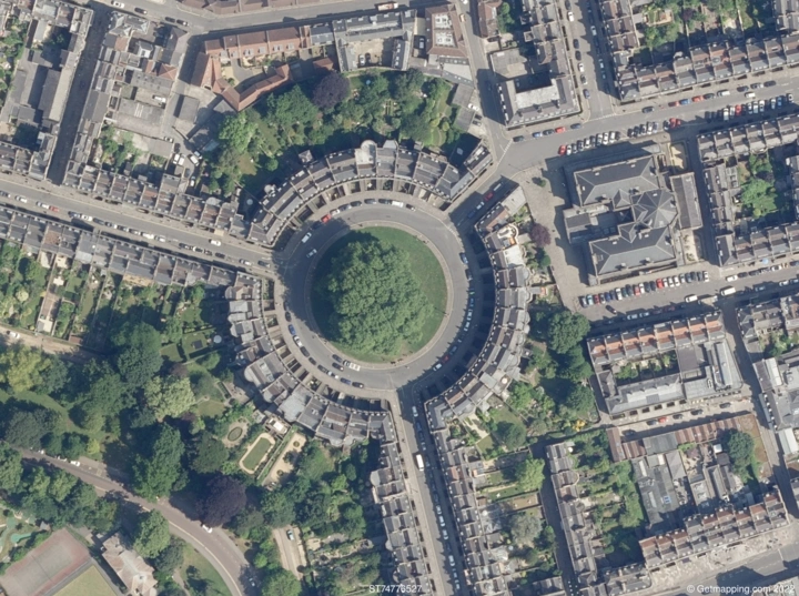
How Do I Get Current Aerial Photos?
You can receive current aerial photos in a variety of ways, based on your specific needs and area of interest. Here are a few common methods:
Commercial Aerial Imagery Providers
Commercial aerial imagery suppliers offer high-quality and up-to-date imagery. Companies such as UK Aerial Photos offer an extensive selection of aerial imagery services that allow customers to download the most recent aerial pictures.
Online Mapping Platforms
Online mapping services such as Google Earth and Bing Maps offer up-to-date aerial imagery. These platforms allow you to examine high-resolution aerial photographs of certain locations.
Government Agencies
Government agencies, including the Ordnance Survey in the UK and the United States Geological Survey (USGS) in the US, may provide up-to-date aerial imagery. Check their official websites or contact them directly to get the most up-to-date information.
Local Authorities
Local authorities may have aerial imagery databases for their own regions. Inquire with your local planning agency or geographical information office about the availability of updated aerial photos.
Aerial Survey Companies
Aerial survey companies use regular flights to acquire current imagery. To purchase or licence current aerial images, please contact these firms directly. They may also have archives for recent flights.
Drones and UAVs
Consider employing drones or Unmanned Aerial Vehicles (UAVs) for precise and up-to-date imagery in tiny areas. You can take your own aerial photographs by flying a drone with a camera over the target place.
Geospatial Data Platforms
Geospatial data platforms, like ESRI's ArcGIS (https://www.esriuk.com/en-gb/home) or OpenStreetMap (https://www.openstreetmap.org/#map=6/54.910/-3.432) , can enable access to current aerial images. These platforms frequently collect data from a variety of sources, including recent satellite and aerial images.
Benefits of including an aerial image of a house in an application
Property Assessment:
Aerial pictures help appraise a property's surroundings, including adjacent amenities and possible developments. For example, an application for real estate listings may contain aerial photographs to highlight the property's closeness to parks, schools, or transportation links.
Urban Planning and Development:
Aerial photographs aid stakeholders in visualising existing infrastructure and land use during urban planning and development. Planners can evaluate the impact of proposed developments on the surrounding region, which helps with decision-making and community engagement.
Environmental Impact Assessment:
Applications focused on environmental impact assessments can benefit from aerial imagery to study the ecological context of a property. For instance, an application for assessing the environmental impact of construction projects can utilize aerial images to evaluate the existing vegetation and wildlife in the surrounding area.
Land Surveys and Boundary Identification:
Aerial imagery is useful for land surveys and determining property borders. Surveyors and land experts can use aerial pictures in planning applicationsor boundary disputes to help them precisely map and define property lines, eliminating disagreements and assuring precise measurements.
Insurance and Risk Assessment:
In insurance applications, aerial photographs are used to evaluate property dangers. For example, an insurance app can use aerial images to assess a house's proximity to possible risks such as flood zones, resulting in more precise risk evaluations and premium calculations.
Where can I get free aerial imagery?
While various platforms provide free access to aerial images in the UK, Aerial Maps is noted for its great quality and extensive offerings. While it is not a free service, the high-resolution photography and additional features make it well worth the price. It is critical to emphasise that, while free solutions are available, quality and services are paramount when it comes to the accuracy and dependability of aerial maps. Adherence to suitable licencing agreements is critical to ensuring the legal and ethical use of obtained imagery, which contributes to the accuracy and validity of data for applications such as urban planning, environmental assessment, and land surveying. Here you can find more sources of aerial images.