Find aerial photos of every county in Scotland
Find aerial photos for every county in Scotland
Aerial photography is an invaluable resource for property and planning disputes, historical research, gifts and marketing property.
At UK Aerial Photos, users can explore a vast archive of over 10 million aerial photographs taken from 1945 to the present day. This comprehensive collection spans every county in Scotland, providing a detailed visual history that is both fascinating and informative.
Search by County:
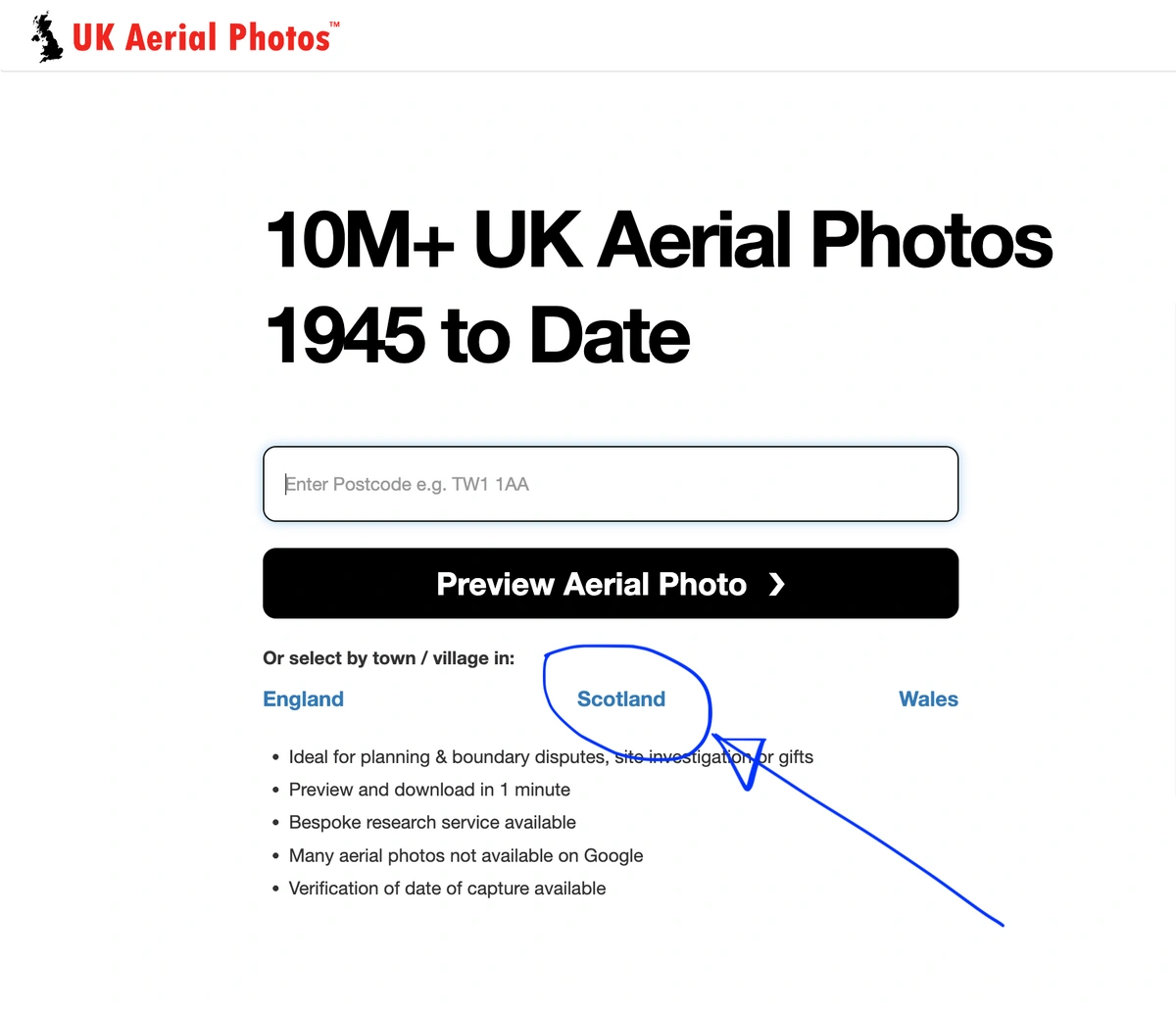
UK Aerial Photos makes it easy to find images from specific counties in England, Wales and Scotland. Take a look here.
Whether you’re researching urban growth in Greater Glasgow or rural changes in the Highlands, our platform covers it all. Here’s a glimpse into what you can find:
Here is a list of counties in Scotland along with a brief description of each:
- Aberdeenshire - Known for its scenic coastline, historic castles, and vibrant city of Aberdeen. Find aerial photos of Aberdeenshire.
- Angus - Famous for its rugged cliffs, fertile farmland, and the historic town of Arbroath. Find aerial photos of Angus.
- Argyll and Bute - A region with stunning landscapes, including numerous islands and Loch Lomond. Find aerial photos of Argyle and Bute.
- Ayrshire - Coastal county with sandy beaches, golf courses, and the birthplace of Robert Burns. Find aerial photos of Ayrshire.
- Banffshire - Features beautiful coastal villages, whisky distilleries, and rolling countryside. Find aerial photos of Banffshire.
- Berwickshire - Borders England and is known for its picturesque towns and rolling hills. Find aerial photos of Berkwickshire.
- Clackmannanshire - Scotland’s smallest historic county, rich in history and scenic views. Find aerial photos of Clackmannanshire.
- Dumfriesshire - Renowned for its rural landscapes, castles, and the town of Dumfries. Find aerial photos of Dumfriesshire.
- Dunbartonshire - Encompasses part of the Glasgow metropolitan area and the scenic Loch Lomond. Find aerial photos of Dunbartonshire.
- East Lothian - Coastal county with charming towns, golf courses, and historical sites. Find aerial photos of East Lothian.
- Fife - Known as the "Kingdom of Fife," with historic St Andrews and beautiful coastal villages. Find aerial photos of Fife.
- Inverness-shire - Scotland’s largest county, featuring the city of Inverness, Loch Ness, and the Highlands. Find aerial photos of Invernesshire.
- Kincardineshire - Small coastal county known for its historic sites and scenic beauty.Find aerial photos of Kincardineshire.
- Kinross-shire - Features beautiful landscapes and the historic Loch Leven Castle. Find aerial photos of Kinrossshire.
- Lanarkshire - Includes part of the Glasgow metropolitan area and rich industrial history. Find aerial photos of Lanarkshire.
- Midlothian - Home to Edinburgh, Scotland’s capital, with its historic and cultural landmarks. Find aerial photos of Midlothian
- Morayshire - Renowned for its whisky distilleries, coastal beauty, and the town of Elgin. Find aerial photos of Morayshire.
- Nairnshire - A small coastal county known for its sandy beaches and golfing. Find aerial photos of Nairnshire.
- Orkney - An archipelago with rich history, ancient sites, and unique landscapes. Find aerial photos of Orkney.
- Perthshire - Features stunning landscapes, historic castles, and outdoor activities. Find aerial photos of Perthshire.
- Renfrewshire - Includes part of the Glasgow metropolitan area and historic Paisley Abbey. Find aerial photos of Renfrewshire.
- Ross-shire - Encompasses part of the Highlands, known for its rugged beauty and wildlife. Find aerial photos of Rossshire.
- Roxburghshire - Borders England and is rich in history with numerous historic sites. Find aerial photos of Roxburgshire.
- Shetland - A remote archipelago with dramatic landscapes and rich Norse heritage. Find aerial photos of Shetland.
- Stirlingshire - Features the historic city of Stirling and the beautiful surrounding countryside. Find aerial photos of Stirlingshire.
- Sutherland - Known for its rugged landscapes, remote beauty, and wildlife. Find aerial photos of Sutherland.
- West Lothian - Borders Edinburgh and features a mix of urban and rural landscapes. Find aerial photos of West Lothian.
- Wigtownshire - A coastal county known for its picturesque villages and rural charm. Find aerial photos of Wigtownshire.
These descriptions offer a glimpse into the unique characteristics and attractions of each county in Scotland.
Easy Access and High-Quality Images
UK Aerial Photos offers a user-friendly search function, allowing you to locate images by postcode, grid reference, or place name. You can preview and download high-resolution images within minutes, making it convenient for researchers, historians, and enthusiasts. The platform also provides bespoke search services for images not available online, ensuring that you find exactly what you need.
Explore the rich history of England with UK Aerial Photos and uncover the fascinating changes in landscapes and urban development across every county. Visit UK Aerial Photos today to start your journey through time.