Why Choosing UK Aerial Photos for Your Projects Matters: 5 Benefits
Why should I choose UK Aerial Photos as my provider?
In today's competitive market, the quality of visual content is paramount. Aerial photography, in particular, offers unique advantages that can enhance your projects across various fields. UK Aerial Photos, a reputable provider of high-quality aerial imagery, stands out for several reasons. Here are five key benefits of choosing UK Aerial Photos for your imaging needs, emphasizing technical superiority and professional reliability.
1. High Quality Imagery
Selecting a recognized site like UK Aerial Photos ensures access to high-resolution aerial images, far surpassing the quality found on many free internet platforms. The imagery provided is captured using state-of-the-art equipment, ensuring clarity and detail that are crucial for professional applications. Whether you're mapping terrain, planning construction projects, or showcasing real estate, the superior resolution and consistent quality of these images provide a clearer and more comprehensive view of your target areas.
2. Coverage and Accuracy
One of the standout features of UK Aerial Photos is their extensive coverage and precise geographical data. The platform offers comprehensive imagery that spans across diverse landscapes and urban areas within the UK. This wide-ranging coverage is paired with accurate geolocation data, ensuring that users can trust the exact positioning of the imagery. Such precision is invaluable for applications requiring reliable visual data, such as environmental monitoring, urban planning, and navigation systems.
3. Additional Services and Features
UK Aerial Photos goes beyond just providing imagery by offering a suite of additional services and features designed to enhance user experience. Advanced search capabilities allow users to quickly find specific locations or features within the imagery database. Historical photos offer a temporal dimension, enabling users to analyse changes over time. If we do not have the image you are looking for on our website you can email us and we'll be happy to look through our extensive database to help you find what you need.
4. Legal and Licensing Compliance
When using aerial imagery, legal and licensing compliance is crucial to avoid potential legal issues. UK Aerial Photos adheres to stringent legal and licensing standards, ensuring that all images are properly licensed for use. This compliance protects users from copyright infringements and other legal concerns, providing peace of mind and allowing users to focus on their projects without the risk of legal repercussions. Proper licensing also means that the imagery can be used in commercial projects, publications and presentations without concerns over legality.
5. Professional Support and Assistance
Choosing a reputable platform like UK Aerial Photos comes with the added benefit of professional support and assistance. Users can rely on specialised customer service to help navigate the site, manage licenses and resolve any technical issues that may arise. This level of support is particularly beneficial for users who may not be familiar with the nuances of aerial imagery or who require assistance in integrating these images into their projects. The availability of expert guidance ensures that users can maximize the utility of the imagery and tools provided.
 .
. 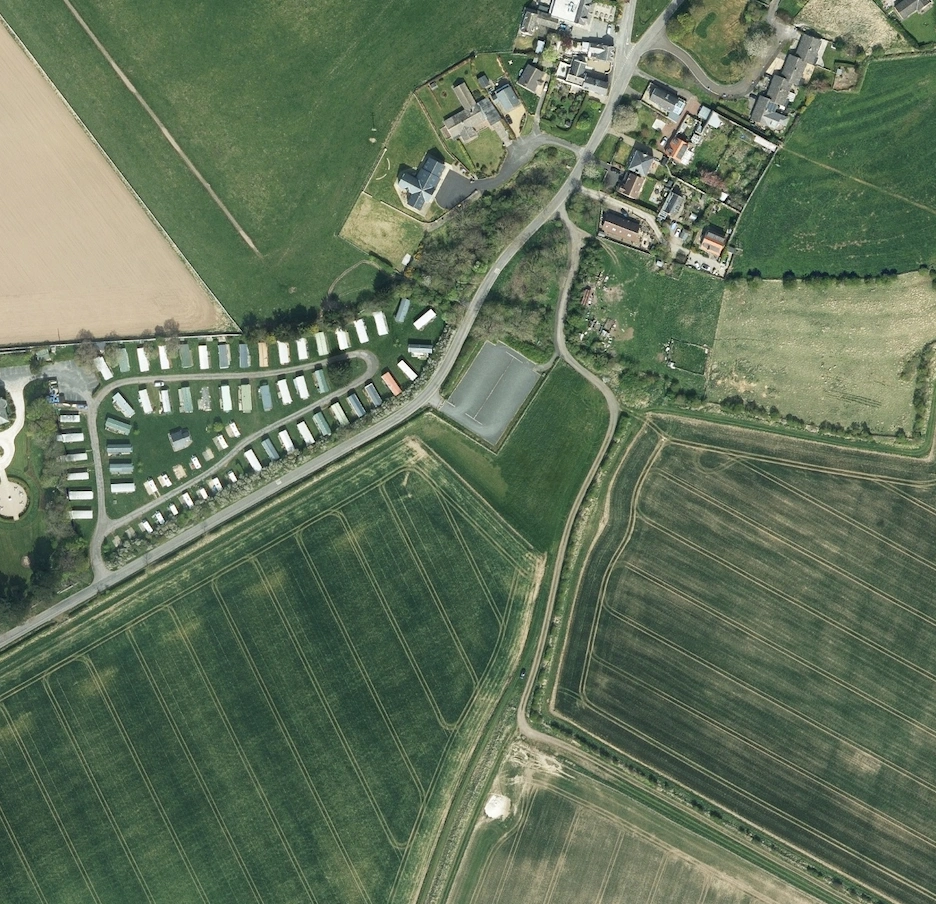
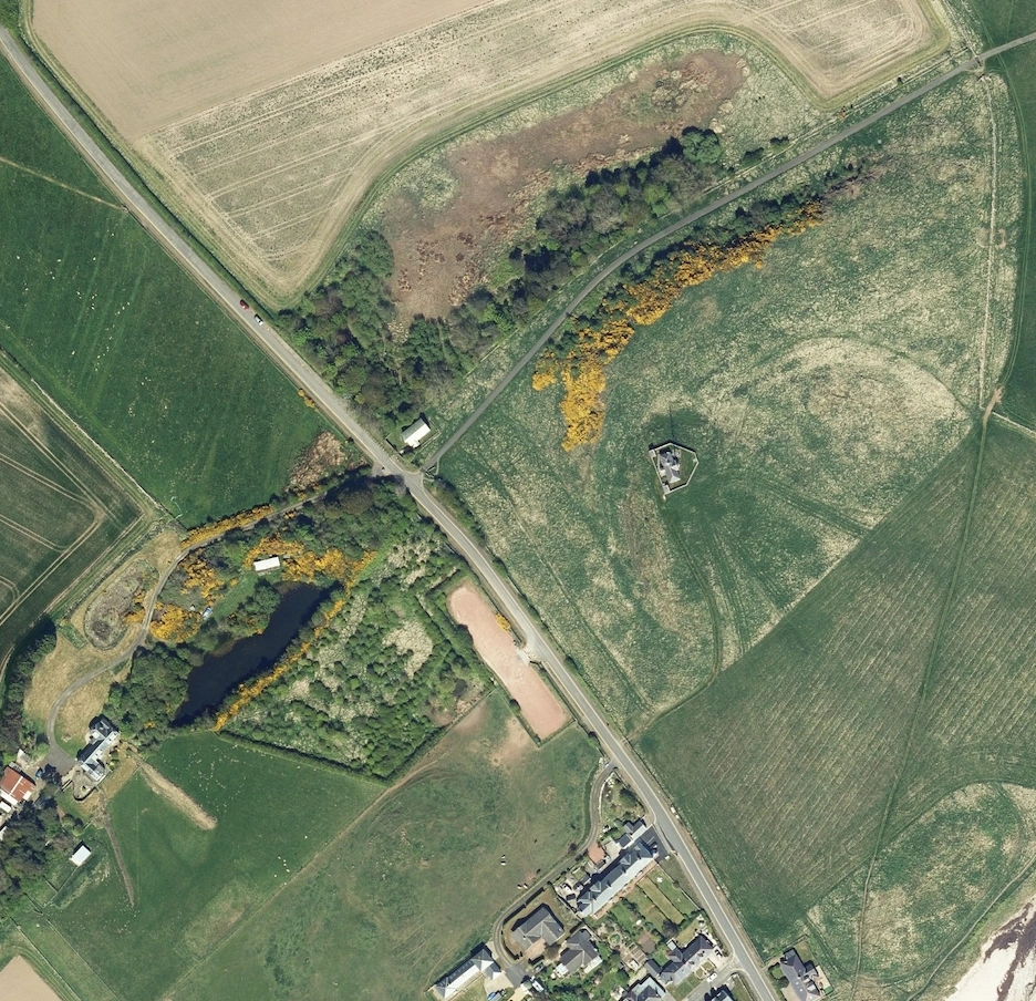
How are aerial photos useful?
Aerial photos are incredibly useful in the building and planning industry for several reasons. they provide a comprehensive view of large areas, allowing planners and builders to visualise the spatial relationships between different elements of a site. this bird's-eye perspective helps in accurately assessing land use, topography, and infrastructure placement. aerial imagery is invaluable for site selection, offering detailled insights into the terrain, existing structures, and surrounding environment. it aids in identifying potential challenges and opportunities early in the planning process, reducing costly surprises later. moreover, aerial photos support precise measurements and mapping, essential for creating accurate site plans and ensuring regulatory compliance. they also facilitate communication with stakeholders by providing clear, visual representations of proposed developments, enhancing understanding and collaboration among architects, engineers, contractors, and clients. overall, aerial photography is a powerful tool that enhances the efficiency, accuracy, and effectiveness of building and planning projects.