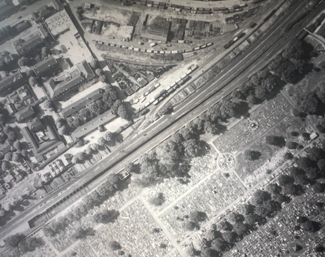
How Do I Find Old Aerial Images?
Finding old aerial images may be a fascinating task, frequently offering significant historical views or assisting with research. Few sites provide the unique perspective that historical aerial photos do. For individuals curious about the evolution of landscapes and urban environments in the United Kingdom, looking into the archives of historical aerial photos is an educational voyage. Here are a few strategies to help you find old aerial images:
UKAerialPhotos.com is a comprehensive platform that provides a wide collection of aerial images in high definition from the UK's top publishers. With numerous photographs, this resource offers users a broad and thorough visual viewpoint of the United Kingdom's landscapes. UKAerialPhotos.com serves a variety of functions, including urban planning, environmental monitoring, historical research, and simply viewing the country's diverse topography. The use of high-resolution aerial images ensures a degree of detail required by specialists in industries such as surveying, architecture, and land management. The platform's collaboration with major publishers improves the authenticity and dependability of the photos, making it an invaluable resource for individuals looking for accurate and up-to-date aerial views of the UK.
MapServe® – Professional Mapping and Historical Photography
A website that provides access to mapping and geographic information services. It is a service that offers various mapping products, including Ordnance Survey maps, covering the United Kingdom. MapServe® allows users to view, purchase, and download a range of mapping data, including detailed Ordnance Survey mapping products, which are known for their accuracy and precision such as MasterMap® and historical aerial photography dating back to the 19th century. These maps are commonly used in various industries such as architecture, urban planning, surveying, and more. (www.mapserve.co.uk)
Britain From Above - English Heritage
English Heritage's "Britain From Above" initiative showcases aerial pictures from 1919 to 2006, providing a thrilling journey around the UK. Explore cities, towns, and rural regions to see the changes that have shaped the country.
National Collection of Aerial Photography (NCAP)
NCAP maintains an extensive archive of aerial imagery from a variety of sources, including the Royal Air Force. This archive is an invaluable resource for researchers looking for historical viewpoints on the geography and development of the United Kingdom. (https://ncap.org.uk/)
Historic England Archive:
The Historic England Archive houses a diverse collection of historic aerial pictures that provide a visual trip through England's past. From major centres to rural stretches, these photographs offer a distinct perspective on the country's history.
The National Archives (UK) is an excellent resource for exploring archives, including aerial images. Discover aerial images that document historical events in the United Kingdom and gain insight into the country's development.
Scottish National Aerial Photography Scheme (SNAPS)
If you're interested in Scottish landscapes, SNAPS offers historical aerial pictures of Scotland. Immerse yourself in aerial panoramas of Scotland's evolving geography.
Magic - UK Government's Mapping Service
Magic, the UK government's mapping service, provides environmental datasets for England and Wales, including historical aerial photos. Navigate through geographic data to supplement your investigation of historical landscapes.
Always keep in mind the usage conditions, copyright restrictions, and any access requirements that apply to each resource. Whether you're an architect, scholar, historian, or simply fascinated by the changes that time brings to the landscape, these archives offer a compelling glimpse into the evolution of the landscape in the United Kingdom.