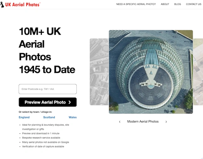
UKaerialphotos.com - all you need to know
10 million aerial photos of the UK, ranging from 1945 to the present.
UKAerialPhotos.com offers access to over 10 million aerial photos of the UK, ranging from 1945 to the present. These photos are ideal for various uses, including planning and boundary disputes, site assessments, property marketing, historical research, and as gifts.
Key Features:
• Search Options: Users can search by postcode, placename, grid reference, latitude/longitude, or easting/northing.
• Photo Previews: Free previews of aerial photos are available.
• High-Resolution Downloads: Photos are available in resolutions from 5cm to 1m.
• Verification and Custom Searches: Date verification and bespoke search services for unavailable photos.
Usage Scenarios:
• Planning & Boundary Disputes: Use date-verified photos for legal evidence.
• Site Assessments: Monitor land and property changes over time.
• Property Marketing: Enhance property listings with detailed aerial views.
• Historical Research: Access historical aerial photos for research or nostalgia.
• Gifts: Create memorable gifts with high-quality aerial photos.
Benefits:
• Extensive Coverage: Comprehensive archive from 1945 onwards.
• Quick Access: Preview and download within minutes.
• Cost-Effective: Competitive pricing compared to other suppliers.
• High Quality: Multiple resolution options ensure detailed images.
For more information, visit UKAerialPhotos.com.
