The Importance of Date Authenticated Aerial Photos in Resolving Planning and Property Disputes
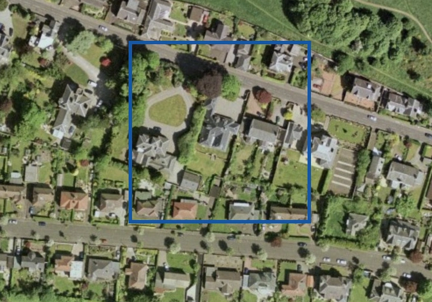
Date authenticated aerial photos can play an important role in resolving planning and property disputes. Aerial photography provides an objective, often irrefutable, record of land use and boundaries over time, which can be instrumental in settling disagreements between neighbours, verifying planning permissions, and establishing historical land use.
The Role of Aerial Photography in Property Disputes
Aerial photos offer a bird’s-eye view that is invaluable in property disputes. These images can reveal details that ground-level inspections might miss, such as the precise location of boundaries, the existence of structures, and changes in land use. When disputes arise over the encroachment of boundaries, the placement of fences, or the development of property, date authenticated aerial photos provide a time-stamped record that can clarify the situation.
Case Law Illustrating the Use of Aerial Photography
Several notable cases highlight the importance of aerial photography in resolving property and planning disputes:
1. Thorpe v. Frank [2019] EWCA Civ 150
In this case, the Court of Appeal dealt with a boundary dispute between two neighbouring properties. The crux of the dispute was the exact location of the boundary line. Both parties presented historical documents and personal testimonies, but it was the date authenticated aerial photos that provided the decisive evidence. The photos clearly showed the position of the boundary over several decades, leading the court to rule in favour of Thorpe, whose argument was consistent with the photographic evidence.
2. Dixon v. Secretary of State for Communities and Local Government [2018] EWCA Civ 607
This case revolved around an alleged planning violation. Dixon had constructed a building without the necessary planning permission, arguing that the structure had been in place for over four years, thus making it immune from enforcement action. The local authority produced date authenticated aerial photos demonstrating that the building had not existed in the timeframe Dixon claimed. The court ruled in favour of the local authority, emphasising the reliability of the aerial photos in determining the facts of the case.
The Legal Framework Supporting Aerial Photography
The use of aerial photos in legal disputes is supported by several principles in UK law. The Civil Procedure Rules (CPR) allow for the inclusion of photographic evidence, including aerial photos, in court proceedings. Furthermore, the Land Registration Act 2002 and the Town and Country Planning Act 1990 both recognise the validity of photographic evidence in disputes over land registration and planning enforcement, respectively.
Practical Applications and Considerations
For solicitors and clients alike, there are practical considerations when using aerial photography in disputes:
- Authenticity: Ensure that the aerial photos are date authenticated, as this provides a verifiable timeline.
- Source: Obtain photos from reputable sources such as government agencies or certified aerial photography companies.
- Expert Analysis: In complex cases, consider engaging an expert to analyse and interpret the aerial photos.
Conclusion
Date authenticated aerial photos are a powerful tool in the resolution of property and planning disputes. They offer an objective, historical perspective that can substantiate claims and clarify contentious issues. As demonstrated by cases such as Thorpe v. Frank and Dixon v. Secretary of State for Communities and Local Government, the judicial system recognises and values the evidentiary weight of aerial photography.
For solicitors handling disputes between neighbours, encroachment issues, or planning violations, leveraging aerial photography can make a significant difference in the outcome. Ensure that the photos are properly authenticated and sourced, and consider their strategic use in presenting a compelling case.